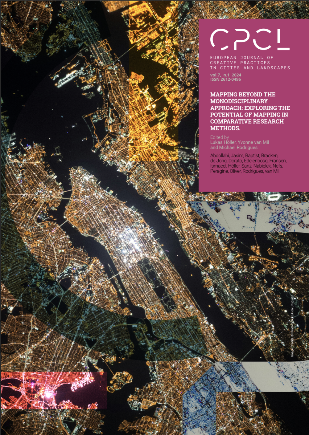
The Open Society in the Twenty-First Century: Comparative Critical Cartographies for Assessing and Designing in ‘t Hool, the Netherlands and Montbau, Spain
DOI:
https://doi.org/10.60923/issn.2612-0496/19155Keywords:
Open Society, Comparative Critical Cartographies, creative practices, ’t Hool (the Netherlands), Montbau (Spain)Abstract
Today’s urbanization pressures present complex challenges in sustainable and socio-ecological transitions. Historical planning tools and theories, such as the Open Society concept, offer alternative approaches to regeneration and inclusivity. Critical mapping is a growing method in urban regeneration. However, we observed that this tool has not been sufficiently explored in a comparative fashion. In this paper, we examine the Open Society concept by comparing and contrasting ’t Hool, Eindhoven and Montbau, Barcelona to assess the concept’s continuing relevance for the regeneration of Modernist housing in the twenty-first century. We construct a comparative critical cartography using mixed-methods (mostly qualitative) to highlight interspatial relations on both neighborhoods. This method is a tool that aids us to highlight power-knowledge relations and detect spatial patterns from different fields, to extract site-specific lessons that inform urban regeneration. This research bridges the gap between theory, design and practice providing tools and comparative approaches to promote more transdisciplinary and more holistic approach to space and place. Addressing the complexity of space with a creative and systematic approach should address the relativism of site-specific knowledge and turn it into more generalizable lessons for urban regeneration.
References
Abrahamse, J.E., van Hooff, G. and Uitterhoeve, W. Historical Atlas of Eindhoven. From a Small Market Town
to the Centre of the Brainport Region. Bussum: THOTH Publishers. 2021.
Bohigas, O. ‘El Polígono de Montbau(Montbau’s housing estate)’, Cuadernos de Arquitectura 61 (1965): 22-34.
Bryan, J. ‘Maps and Power’, Political Geography 30(4) (2011): 236-238. https://doi.org/10.1016/j.polgeo.2011.03.001
Corboz, A. The Land as Palimpsest. École polytechnique fédérale. Zurich. 1983.
Corner, J. ‘The Agency of Mapping: Speculation, Critique and Invention’ in Dodge, M., Kitchin, R., and Perkins,
C. The Map Reader: Theories of Mapping Practice and Cartographic Representation. New Jersey: John Wiley & Sons. 2011.
Crampton, J. W. and Kygier, J. ‘An Introduction to Critical Cartography’, ACME: An International Journal for Critical Geographies 4 (2001):11-33. https://doi.org/10.14288/acme.v4i1.723
Deleuze G. and Guattari F. A Thousand Plateaus: Capitalism and schizophrenia. London: Continuum. 2004.
De Solà-Morales, M. A Matter of Things. Rotterdam: NAI Publishers. 2008.
Faludi, A. ‘The Performance of Spatial Planning’ Planning Practice & Research 15 (2000): 299–318. https://doi.org/10.1080/713691907
Ferrer, A. Polígonos de viviendas en la comarca de Barcelona(Housing estates in Barcelona region).
Laboratorio de Urbanismo, Barcelona: ETSAB Escola Tècnica Superior d’Arquitectura de Barcelona. 1974.
Gramsci, A. Selections from the Prison Notebooks. New York: International Publishers. 1971.
Harley, J.B. ‘Deconstructing the Map’, Cartographica 26 (1989): 1-20. http://hdl.handle.net/2027/spo.4761530.0003.008
Hein, C. and van Mil, Y. ‘Towards a Comparative Spatial Analysis for Port City Regions Based on Historical Geo-spatial Mapping’. PORTUSplus 8 (November 2019). https://www.portusplus.org/index.php/pp/article/view/189
Jacobs, J. The Death and Life of Great American Cities. New York: Vintage Books. 1961.
Llobet, X. ‘Barrio de Montbau’ in Redacción de la documentación de 256 elementos del catálogo inicial de
edificios del plan nacional del patrimonio del siglo xx(Drafting of the documentation of 256 elements of
the initial catalogue of buildings of the national heritage plan of the 20th century). DOCOMOMO Ibérico Barcelona (2009): 252-254.
Nijhuis, S. and de Vries, J. ‘Design as Research in Landscape Architecture’, Landscape Journal 38 (2019): 87-103. https://doi.org/10.3368/lj.38.1-2.87
Rijksdienst voor het Cultureel Erfgoed. ’t Hool Eindhoven: Een wederopbouwgebied van nationaal belang(’t
Hool Eindhoven: a reconstruction area of national importance). Rijksdienst voor het Cultureel Erfgoed, 2016.
Risselada, M. ‘’t Hool Housing Estate, Eindhoven, 1962-72: Van den Broek and Bakema’ in Bosman, J., Boyer,
M.C., Celik Z., Highmore B., Avermaete T., Risselada, M., van den Heuvel, D., and Frampton, K. (eds.) Team
10: In search of a utopia of the present 1953-1981. Rotterdam: NAI Uitgevers. 2005.
Sanz, J., Bracken G., and Muñoz, V. ‘Critical cartographies for assessing and designing with planning
legacies: the case of Jaap Bakema’s Open Society in ‘t Hool, the Netherlands’, Planning Perspectives 38 (2023):1103-1117. https://doi.org/10.1080/02665433.2023.2248463
Sennett, R. The Craftsman. Connecticut: Yale University Press. 2009.
Sennett, R. Building and Dwelling: Ethics for the city. London: Penguin Books Ltd. 2019.
Schön, D. The Reflective Practitioner: How Professionals Think In Action. New York: Basic books. 2008.
Scott, J.C. Seeing Like a State: How certain schemes to improve the human condition have failed.
Connecticut: Yale University Press. 2020.
SGV ‘t Hool Foundation. “Achtergrond(Background)” Last accessed February 6, 2025. https://www.woonwijkhethool.nl/achtergrond/.
Van den Heuvel, D. Jaap Bakema and the Open Society. Amsterdam: Archis. 2018.
Wood, D. Rethinking the Power of Maps. New York: Guilford Press. 2010.
Zonneveld, W. ‘Visual storytelling: Assessing the power of maps in planning’ in Rocco, R., Bracken, G.,
Newton, C., and Dabrowski, M. (eds.). Teaching, Learning & Researching Spatial Planning. Delft: TU Delft Open. 2022. https://doi.org/10.34641/mg.50
Downloads
Published
How to Cite
Issue
Section
License
Copyright (c) 2024 Juan Sanz Oliver, Gregory Bracken, Víctor Muñoz Sanz

This work is licensed under a Creative Commons Attribution 4.0 International License.


